


Drone learns to navigate from the honeybee
During flight, honeybees keep track of how far they have flown and in which direction. This also provides a handy and lightweight navigation system for drones.
Small, lightweight drones can be extremely useful. For example, they can deliver small parcels to hard-to-reach places, carry out inspections in difficult-to-access terrain, or fly out as a team – each in a different direction – to search for a missing person.
It is therefore useful if the drone can find its own way back. However, this is rather difficult for small drones. Most advanced robotic navigation systems require a great deal of computing power and are therefore too heavy and too expensive for mini-drones. These drones simply cannot carry or power the computer systems needed for accurate, autonomous, map-based navigation.
Researchers at Delft University of Technology, Wageningen University & Research and the University of Oldenburg in Germany have now come up with a solution. They have developed a navigation system that uses only a fraction of the computing power of conventional systems, drawing inspiration from the honeybee’s navigation method. The new navigation strategy, called Bee-Nav, was published in *Nature* on 13 May.
Panoramic view and path integration
With Bee-Nav, the drone is not provided with a pre-loaded map. It first flies around the immediate vicinity to map the area itself, whilst a small neural network is trained using panoramic images.
Afterwards, as it flies further afield, the drone uses what is known as path integration. This means it continuously tracks how far it has flown in which direction, and uses this to calculate how far it has travelled in total from its starting point in each direction. Once it has completed its mission, it can fly back in a straight line.
Path integration during drone flights is effective, but not always equally accurate. As long as the drone returns to the area it has previously surveyed, this is not a problem. For the very last stretch, it can then navigate using its neural network: this can estimate the direction and distance home based on the training flight carried out earlier. The system needs to have surveyed no more than 10 per cent of the total flight area for this.
Economical with bytes
The new method requires far less memory than previous navigation methods, the researchers write in *Nature*. Until now, the most advanced technology was a small flying robot that required 500 kilobytes of memory on an energy-efficient AI chip to navigate an area measuring four by five metres.
Small drones equipped with Bee-Nav successfully returned from test flights ranging from 30 to 100 metres using a neural network of 3.4 kilobytes. In large indoor spaces such as hangars, they landed within half a metre of their take-off point. For flights of up to 600 metres in windy conditions, 42 kilobytes were required, and the success rate dropped to 70 per cent. A key reason for this was that the wind caused the drone to tilt, making the images more difficult to use for navigation, the researchers explain in a press release from TU Delft.
They carried out the outdoor experiments at the Dutch drone field laboratory, Unmanned Valley, in Valkenburg.
Honeybees
Small insects such as honeybees navigate with great precision, even when kilometres away from their hive. After a winding outward journey, they often return along a straight line. They find their way back through ‘path integration’ of the directions and distances travelled – also known as ‘odometry’. As they get closer to home, the bees rely increasingly on their visual memory: the ability to remember visual landmarks and relate them to one another.
How odometry works in honeybees is understood right down to the level of neuronal activity. The precise functioning of visual memory and its interaction with odometry is not yet fully understood by scientists.
Next step
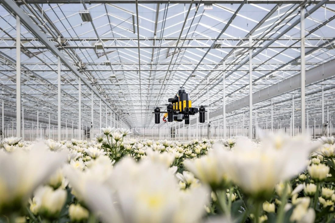
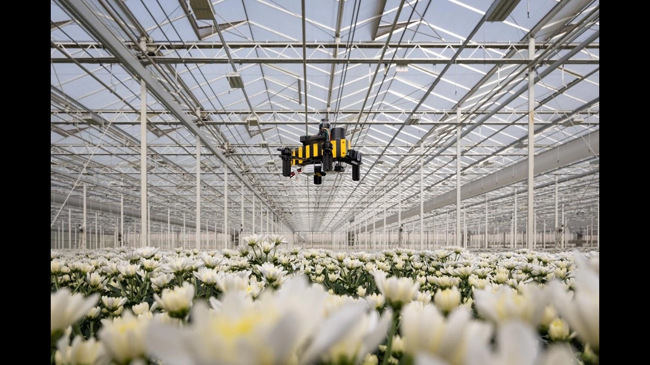
The system now needs to be made more robust for real-world conditions. The researchers envisage applications such as monitoring greenhouses. Lightweight drones could be used there to inspect crops and detect diseases or pests at an early stage. Previously, such drones used radio beacons inside the greenhouse to navigate.
This is not the first time that scientists have drawn inspiration from insects when developing drones. For example, six years ago, a research team – including the same group from Delft that was involved in the research described here – used an ‘insect algorithm’ to make mini-drones fly in a swarm.
Opening image: TU Delft
Meer artikelen

Samen ontdekken


Comments